

Maps
All our maps are created in meticulous detail to scale using open-source data. We create terrain shadows using satellite imagery filtered through specialist 3D mapping software to produce shadows and highlights; we then bring it all together and enhance it using digital illustration software. The final product is printed as high-quality giclée prints on archival-quality watercolour paper, ensuring the depth and intensity of colour will remain with you always. If you choose to have your print framed, they come in a solid wood 22mm frame in either black, oak, or white and has the option of a white card mount.
Standard sizes range from A4, all the way up to 800mm x 600mm.
All 5 results
-
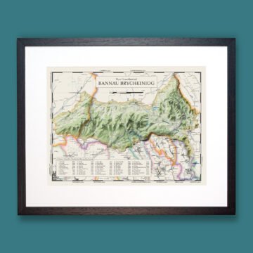
Bannau Brycheiniog (Brecon Beacons) Welsh Language Map
From £39.50View options -
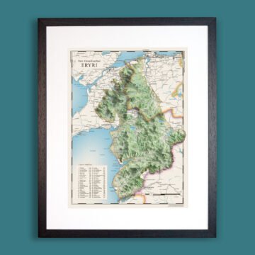
Eryri (Snowdonia): Welsh Language Map
From £39.50View options -
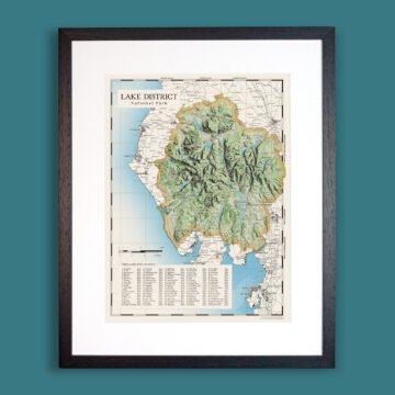
Lake District National Park
From £39.50View options -
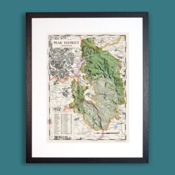
Peak District National Park
From £39.50View options -
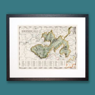
Shropshire Hills National Landscape
From £39.50View options